Showcasing Our Valued Partners:
A Comprehensive Display of Collaboration and Mutual Success


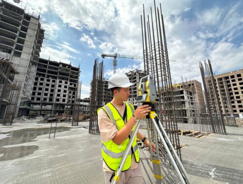
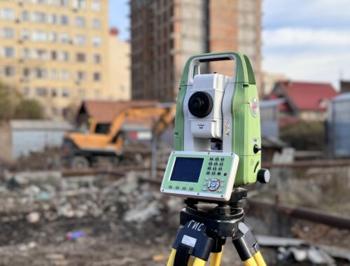
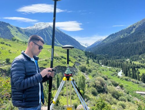
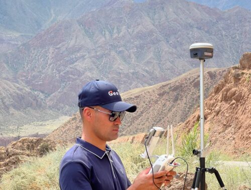
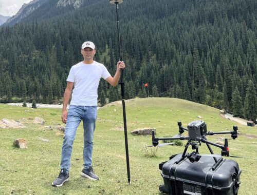
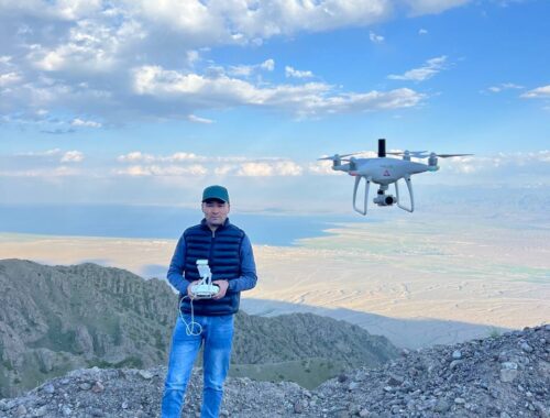
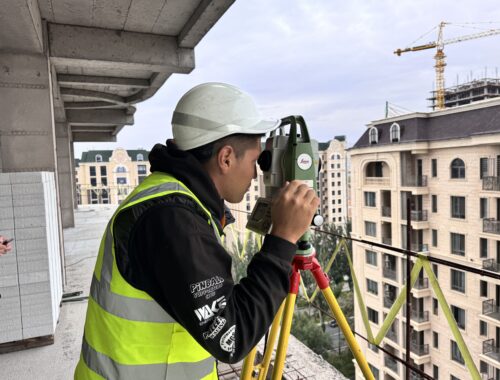
We provide professional surveying services based on modern equipment and the experience of our specialists

About company
We, the company “KyrgyzGeoTech” – a geodetic company providing: professional geodetic services, topographic survey, UAV survey, geodetic support in construction. Highly qualified certified professionals with extensive experience in the relevant areas of geodesy, geoinformation technologies and construction work in KyrgyzGeoTech LLC. The company has the appropriate material and technical base, licenses and uses modern electronic geodetic instruments, GPS receivers, computer and office equipment, software and remote sensing data.

Our services
Our geodetic services can be divided into several groups, and topographic survey is one of the main ones. The result of topographic survey or topographic survey is a topographic plan, which contains the most complete information about the features of the territory – about the relief, boundaries, location of green areas, real estate, communications or water bodies. Depending on the purposes for which the tacheometric or GPS survey is carried out, topographic survey is carried out at different scales, mainly in M 1:2000, 1:1000 and 1:500.

Tolerance and Measurement Accuracy
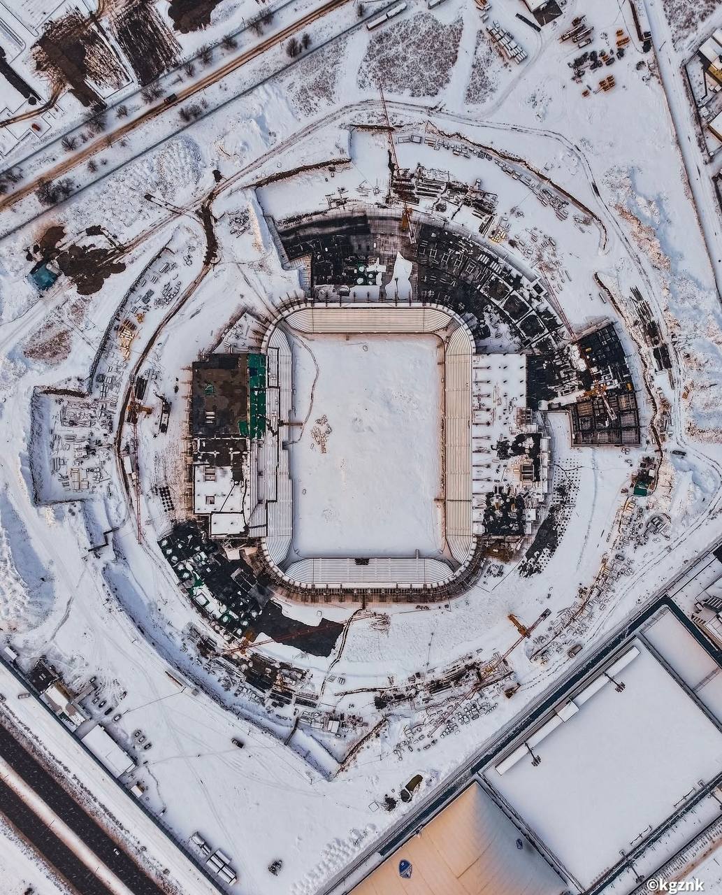
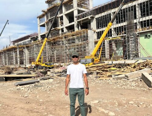
High-quality executive survey helps control the construction and reconstruction process, as well as monitor the condition of the building in operation. Its data can show deviations from the project, identify errors or promptly detect deformations of buildings and structures. At the construction site, our surveyors create a geodetic layout base, calculate the volume of earth masses, transfer the project to nature and qualitatively perform the entire complex of geodetic support for construction production.
We are open for cooperation!
Looking for a reliable partner in the field of geodesy?
We guarantee high quality services and an individual approach to each project.
Cooperation with us is your step to success!
We offer professional geodetic services based on modern equipment and the experience of our specialists.
We are ready to offer reliable solutions for your geodetic tasks, successfully cooperating with private customers, partners, as well as state and local companies and institutions, taking into account their characteristics, the complexity of geodetic work, topographic, cadastral maps, GIS, building projects, structures and tender requirements!
Our Story
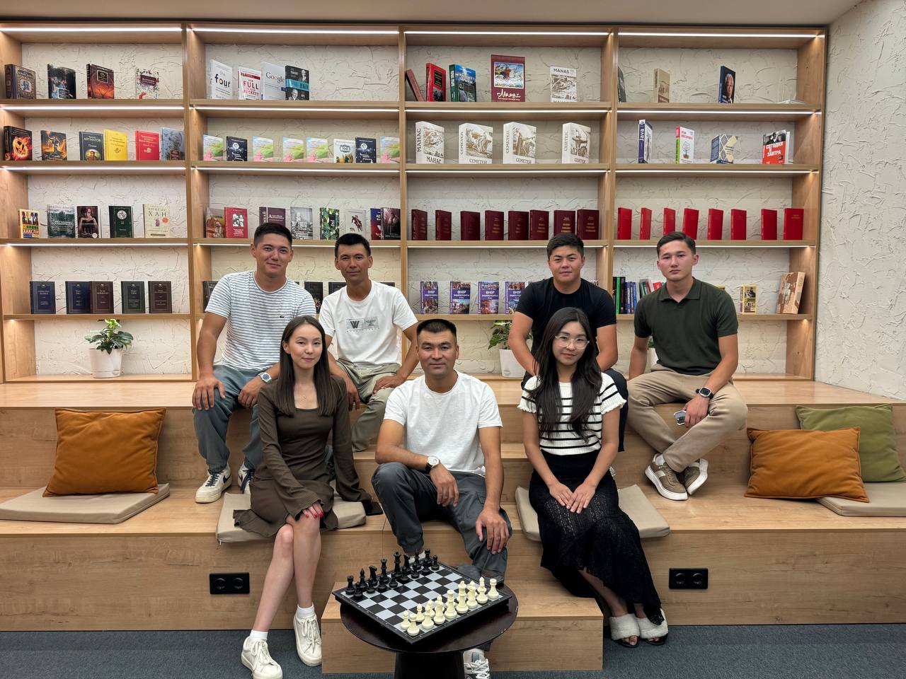
We are a team of professionals
KyrgyzGeoTech LLC has highly qualified personnel, the necessary licenses, geodetic equipment and computer programs to perform a wide range of engineering and geodetic works.
cost & services
The cost of geodetic services is formed on the basis of several factors:
1. Type and volume of work
Different types of geodetic work (topographic survey, cadastral survey, layout work, etc.) have different costs. The more complex and voluminous the work, the higher the price.
2. Site area
The larger the area, the more time and resources will be required to complete the work, which increases the overall cost.
3. Complexity of the area
Geodetic work on sites with uneven terrain, dense vegetation or in difficult climatic conditions requires additional effort and time, which is reflected in the price.
4. Distance of the property
If the site is located far from the city, additional transportation costs may be taken into account.
5. Completion Time
If work needs to be completed within a tight deadline, a company may charge a higher price due to the need to bring in additional resources or increase the workload.
6. Region and market
Prices may vary depending on the region and the level of competition in the surveying services market.
Our Team
Introducing Our Team
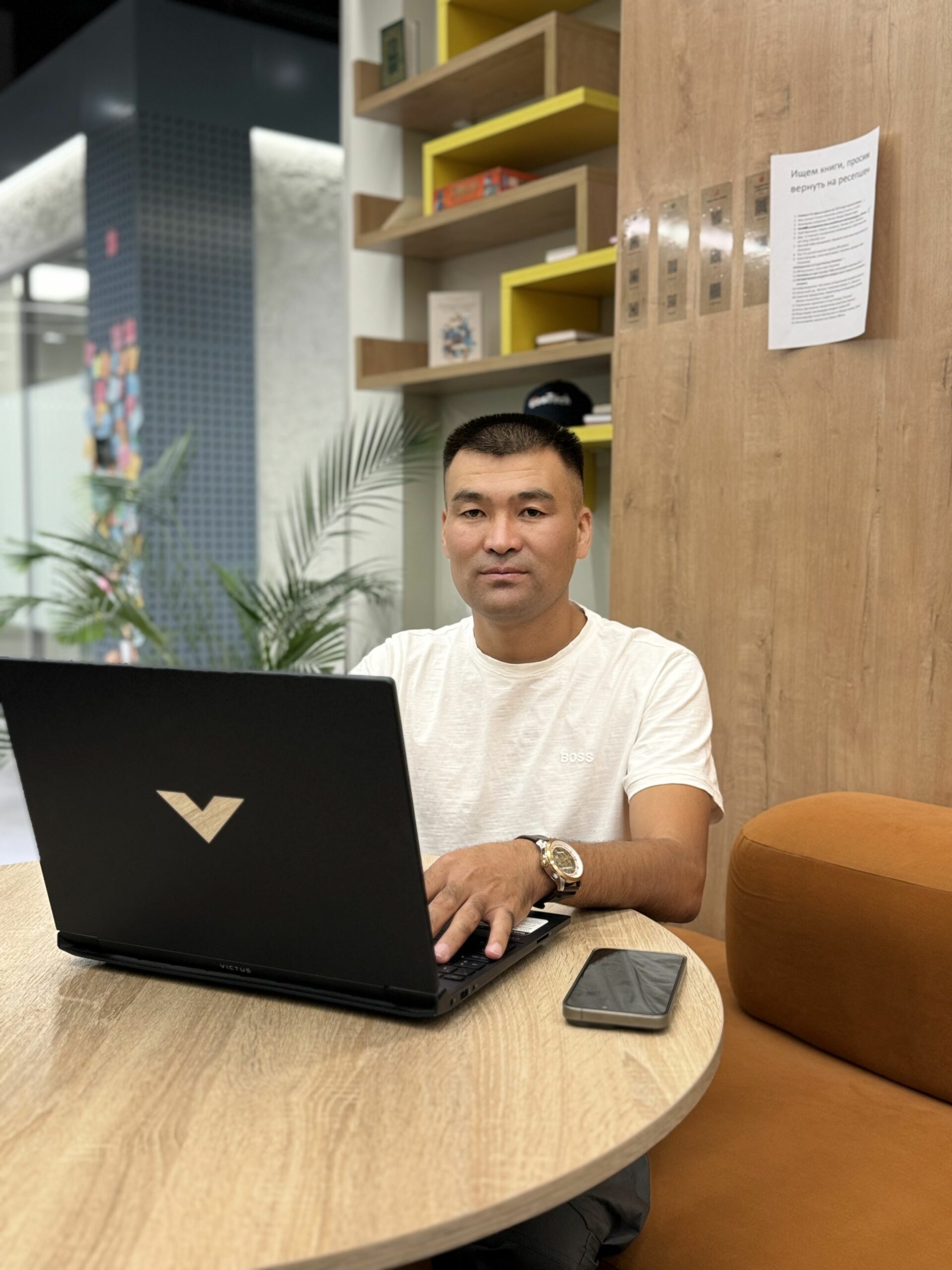
Chymbyldaev Nurbek Tentimishovich
Founder, CEO of Kyrgyz GeoTech, chief surveyor
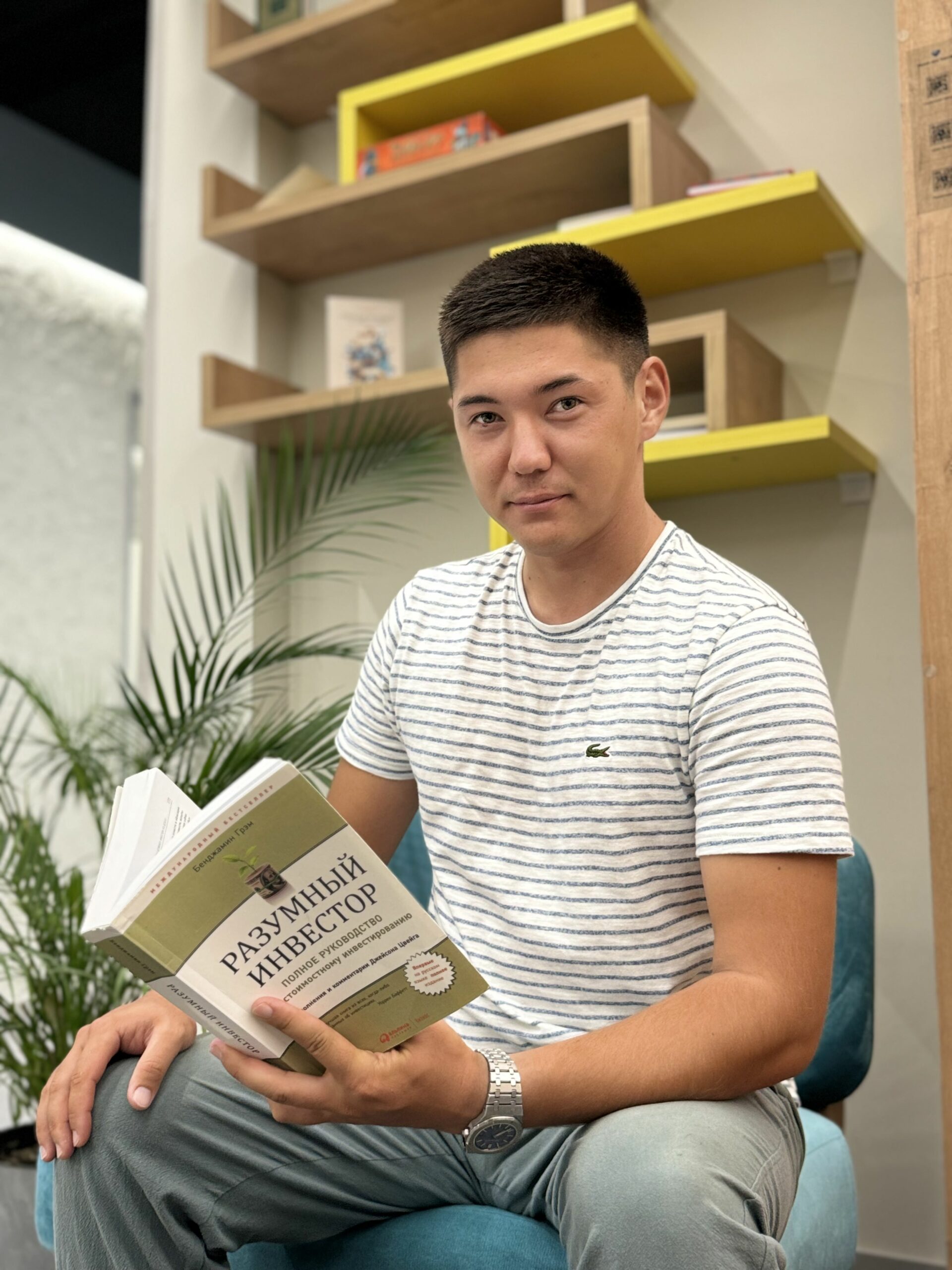
Sargazakov Atay Almazovich
chief surveyor

Suyundukova Nuriza Taalaibekovna
Accountant

Chymbyldaev Sabit Tentimishovich
chief surveyor
Anarbekov Zholaman Anarbekovich
Surveyor engineer

Burkanbekova Zharkynai Burkanbekovna
GIS specialist, surveyor
Yuldashev Shuhrat Rakhimbaevich
Surveyor engineer

Kubanychbek kyzy Raushan
GIS specialist, surveyor