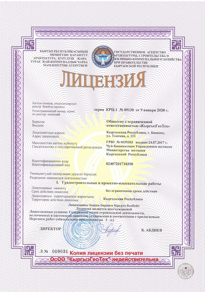
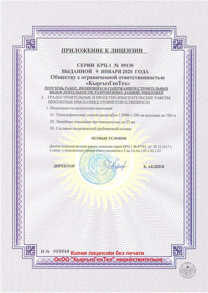
There are high and special requirements in the fields of geodetic and land survey, development of geoinformation systems (GIS) and construction of buildings and infrastructure. Only companies with state licenses, professional and experienced employees with relevant knowledge and professional background as well as with modern survey equipment and spatial technologies can satisfy these requirements.
Our company provides the following licensed services in the field of geodesy, GIS, construction and remote sensing:
– Geodetic maintenance in construction;
– Land survey;
– Control and executive surveys;
– Engineering and geodetic survey;
– Stacking out building plans;
– Provision and processing of remote sensing data;
– Satellite positioning (GNSS);
– Development of geoinformation systems (GIS);
– Professional consultations on geodesy and GIS;
– Courses of retraining and advanced training of specialists in geodesy and GIS.
The service cost is calculated depending on the type of geodetic work, the volume of services provided within the framework of a contract, TOR, as well as the particularities of the object with which we have to deal. Our specialists can come on your first call and calculate the content and cost of work in your construction or survey site.