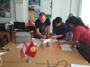
UAV training course
This training covers the fundamentals and principles of aerial imaging to enhance geodetic UAS operators’ knowledge in mapping with drones by understanding how to accurately plan and collate this imaging form various UAS platforms and digital sensing in order to produce and present enhanced geospatial products with photogrammetry and GIS applications.